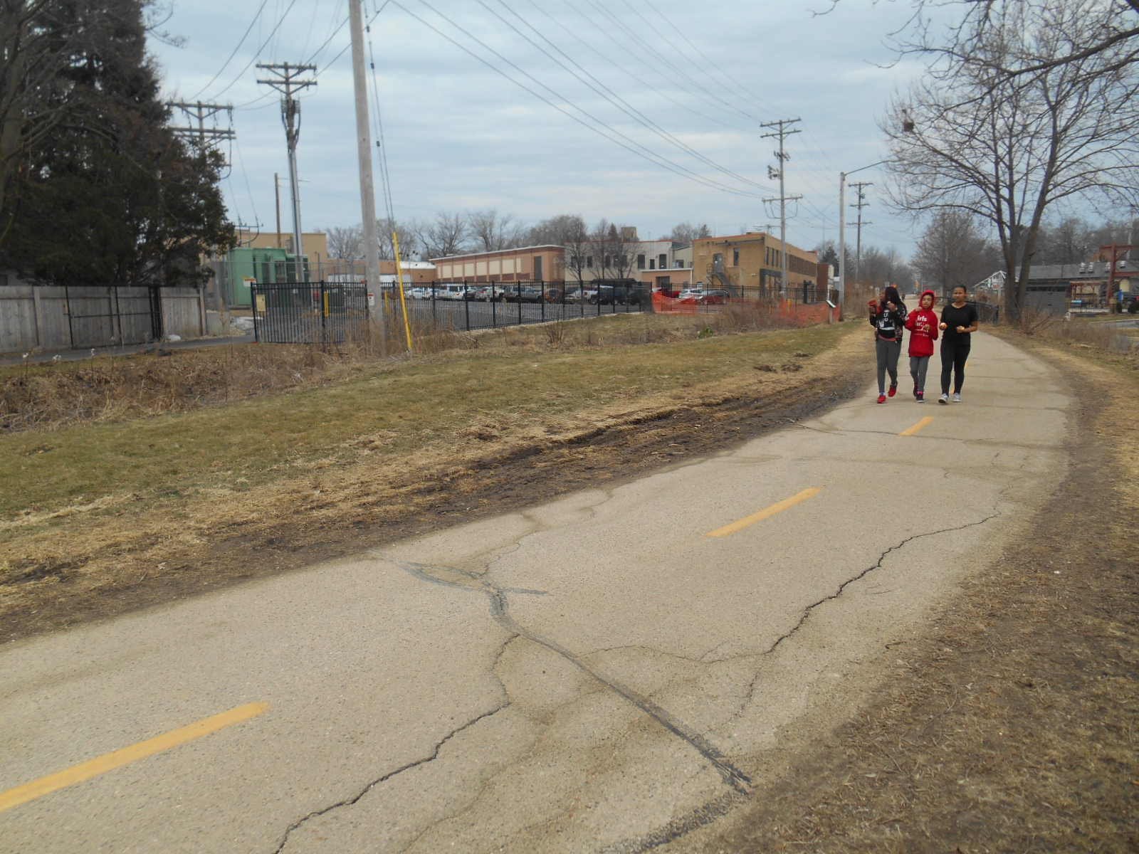
Photo: Kids walk along bikepath next to Kipp raingarden in February 2017.
Sadly, the seemingly never-ending Kipp raingarden saga continues. (See the long history of the Kipp Raingarden PCB Saga here, here, and here...and more).
In February 2017, MEJO gathered shallow soil samples next to the city bike path adjacent to the Madison-Kipp raingarden and had them tested for PCBs. One sample had total PCB levels twelve times higher than the residential direct contact “residual contaminant levels” (RCL) appropriate for this area. Another had levels about five times higher than the residential RCL.[1][2]
MEJO’s samples were from surface soils (top 1-2 inches) right next to the bike path, where people walk and jog, children play, parents push strollers, and pets frolic. City and state officials have told us repeatedly that nobody could be exposed to PCBs along the bike path because surface soils there were not likely to be contaminated.
Also, this city-owned area was deemed “closed” by DNR in July 2016 with the understanding that PCBs remaining there over the RCLs had been excavated—or capped with clean, PCB-free soils to prevent exposures to people walking or playing there.
However, the MEJO samples with PCB over the RCLs were from areas that were never actually tested for PCBs because Madison Gas & Electric would not allow excavations near their utility poles and underground lines. (See this map of what areas were excavated and what areas were not because they were MGE “utility buffers.”) One of the samples was from a grassy area upstream of the raingarden where stormwater flows into the raingarden every time it rains—likely re-contaminating the raingarden. Another sample was downstream of the raingarden. Neither area was ever excavated or capped.
In one area inches from the bike path that was “capped” in October 2015 with a thin layer of purportedly “clean” soils, to cover remaining areas with PCBs over the RCLs, we found PCB levels over half the residential RCL. There really shouldn’t be any PCBs above detection limits in this cap soil. The July 16, 2016 DNR letter to Mayor Soglin about the DNR’s approval of final closure for the area states “[t]he soil and asphalt caps over the contaminated soil serve as a barrier to prevent direct human contact with residual soil contamination that might otherwise pose a threat to human health. Based on the current use of the property, the barrier should function as intended unless disturbed.”
The soil cap has been repeatedly disturbed since it was placed there (see here and here). The snow fence placed around the original cap came down almost immediately and was never put back up.[3] The city driveway and parking lot caps, over highly contaminated soils, have also been repeatedly disturbed. The DNR closure agreement includes maintenance requirements to prevent disturbances of caps meant to protect people from exposures—but apparently nobody is taking these requirements seriously, despite the area’s heavy public use and location next to a community center.
The bottom line? The public area along the bike path next to Kipp is still contaminated with PCBs over the levels city and state officials agreed could remain there without being capped. The capped area is not PCB-free, and is highly disturbed. Adults, children, and pets walk, jog and play all over these areas.
Why are PCBs on this highly used city land not being fully investigated or remediated? Who is responsible? It is not clear. But it is very clear that public health is not being protected.
Where did these PCBs come from? See Part 2, coming soon…
[1] “Residual contaminant levels” are the contaminant levels that can remain in place without capping according to DNR policy. Responsible government officials typically decide whether to use lower, more protective “residential” or higher, less protective “industrial” RCLs based on the zoning of the land and how the land is used. According to DNR guidance, heavily publicly used land such as this area, next to residences and a community center, should use residential RCLs. Both MEJO samples over the residential RCLs were also over the industrial RCLs.
The city’s lease to Kipp for the raingarden, signed in Jun 2015, says: “The City shall, in consultation with the Lessee, conduct periodic sampling of the Biobasin for new environmental contamination. If the annual environmental sampling indicates new PCB contamination to the Biobasin, the Lessee shall remediate the contamination according to local, State, and federal standards. The Lessee shall also determine the source of the contamination and take action to ensure that further contamination does not occur. New contamination shall be defined as shallow soil sample results above the DNR residential direct contact standard (RCL) for PCBs.” (highlighting added).
However, the Kipp consultant report says industrial standards would be used for cleanup decisions. Whose decision was this? On what basis was it made?
[2] These levels are 108 to 265 times higher than the RCL for the “soil to groundwater pathway.” The highest level of PCBs found along the bike path to date (1020 ppm), is over 108,000 times the soil to groundwater RCL. Yet, groundwater under the raingarden and bike path area has never been tested for PCBs.
[3] Our ongoing emails to city and state officials since 2015 with photos of this disturbed area were apparently ignored.
