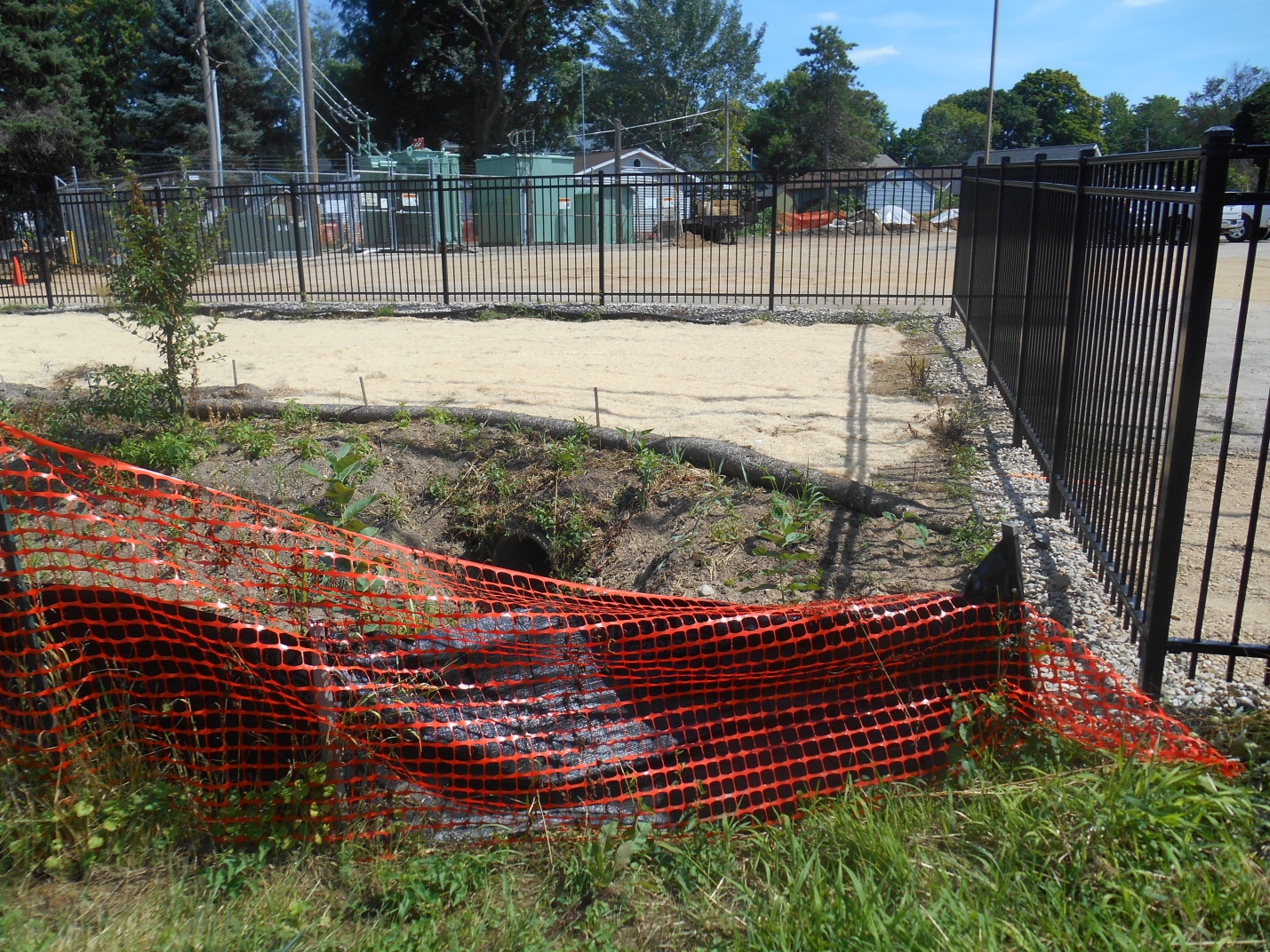
Kipp’s Sludge Garden Saga continues… an Arcadis (Kipp’s consultants) report dated August 6, 2014 includes data generated in April and May of this year showing the highest PCB hotspots found to date–550 ppm and 1020 ppm–from soils excavated at the far west edge of the raingarden (see pg. 13 of above report), right next to where a Kipp storm drain pipe emptied contaminants into the raingarden area for decades. These levels are far higher than in previous rounds of excavation in the raingarden, which also revealed many PCB hotspots.
The highest PCB level found in recent excavations, 1020 ppm, is 1457 times the DNR’s industrial direct contact residual contaminant level (RCL) of 0.7 ppm and 5100 times the non-industrial (residential) RCL of 0.2 ppm.[1],[2]
Oddly, the Arcadis report does not mention the sources of the PCBs. Moreover, it does not state the depth of these samples, making it very difficult to assess what the past and current sources of the PCBs might be, how and where the contaminants might travel over time, and how likely it is that people will be exposed to them now or in the future in different contexts.
Though some soils in the raingarden area with the highest detections of PCB have been removed, soils in much of the area could not be excavated because of buried utility lines, and the full extent of the contamination remains unknown. Contaminated runoff from the northern part of the Kipp property continues to discharge from the stormwater pipe that drains into the raingarden, as Kipp removes/repaves parking lots and constructs the groundwater extraction system. Soils in the northern parking lot area, where most of this work is occurring, are among the most contaminated soils on the site.
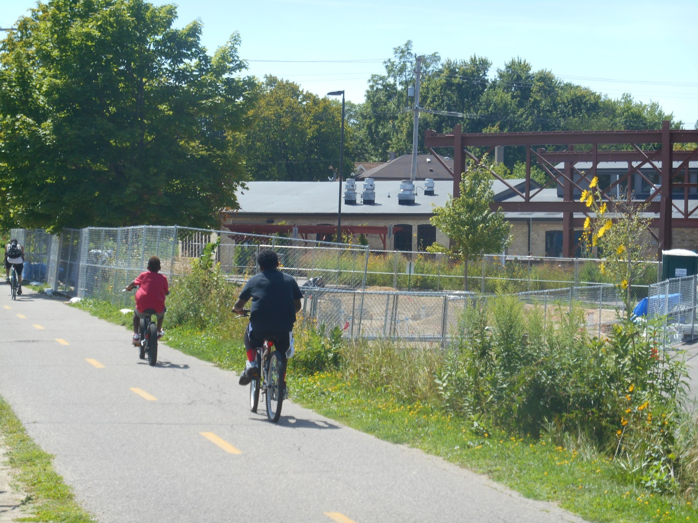
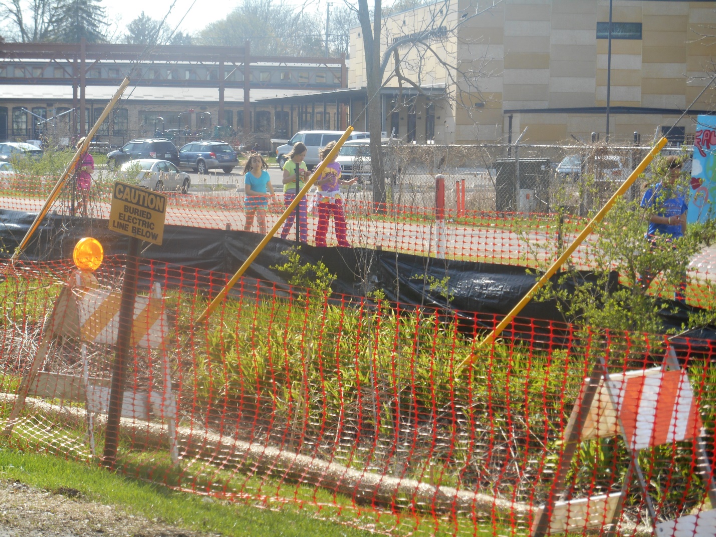
The City of Madison land on which these hotspots were found is next to a heavily used city bike path along which many children bike and play every day (see here and here) and just across from the ill-advised Goodman Center children’s splash pad, currently under construction. Throughout the excavations, no signs have ever been posted to let people know what is going on and to keep children and pets away.
To date, this PCB data has not been shared with the public by Kipp, DNR, or another agency. It is not posted on the DNR website and it is not in the Hawthorne Library.[3] Why not?
[1] Though government agencies are using the industrial RCL, given that this is public land feet away from a public bike path and a community center, the lower, more protective non-industrial (residential) RCL should be used.
[2] Four samples analyzed just last week to the west of these hotspots under Kipp’s driveway (leased from the City of Madison) showed much lower levels of PCBs, but consultant reports again do not include the depths of the samples, or even maps of their locations, making it difficult to assess the importance of these findings.
[3] Several years ago, people in the Kipp neighborhood asked DNR to place hard copies of critical Kipp and government documents relevant to Kipp’s soil and groundwater pollution (including consultant reports as well as DNR and other agency reports and communications, etc) in the Hawthorne Library for people who do not have internet access. Although there are several large Arcadis reports in the library, the recent raingarden data is not there and to date none of important Kipp-related DNR and other agency documents have ever been placed there other than a few very old DNR reports on Kipp’s site investigations.
